GEOTECHNICALENGINEERING1
ADELAIDE
HomeSeismicSeismic microzonation

Seismic Microzonation Studies in Adelaide: Site Response and Ground Motion Mapping

Site investigations you can build on.

LEARN MORE

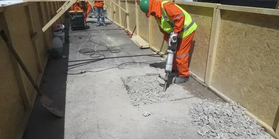
One of the most common missteps we see in Adelaide is treating the entire metro area as having uniform seismic hazard. A site in the thick Quaternary alluvium of the River Torrens basin and another on the fractured Proterozoic bedrock of the Adelaide Hills face fundamentally different ground motions during a tremor. The 1954 Adelaide earthquake, though moderate at magnitude 5.5, caused localized damage patterns that still inform our baseline studies today. In our laboratory, seismic microzonation means integrating MASW profiling with borehole logs to define site classes per AS/NZS 1170.4, then mapping how the basin-edge effect amplifies shaking at specific periods. When a developer plans a multi-storey structure near the Para Fault escarpment, we correlate the soil profile with the bedrock depth model to avoid underestimating spectral acceleration. This work is not a desktop exercise; it requires direct field measurement of Vs30, careful sample logging, and a clear understanding of Adelaide's complex transition from sedimentary cover to hard rock.

A site class boundary can shift within 50 metres in Adelaide's foothills transition zone — mapping it correctly changes the design spectrum by a full site factor increment.

Our service areas

How we work

The field setup we deploy for microzonation across Adelaide typically starts with a 24-channel seismograph paired with 4.5 Hz geophones. For deep basin mapping north of the CBD, where the Tertiary sediments exceed 100 metres, we switch to an active-source array with longer spreads and a weight-drop source to capture fundamental-mode dispersion down to low frequencies. The raw data feeds into the inversion process using the linearized approach described in Xia et al. (1999), constrained by borehole lithology from our own drilling campaigns. What makes the Adelaide Basin interesting from a processing standpoint is the impedance contrast between the Hindmarsh Clay and the underlying Hallett Cove Sandstone; this interface often produces a clear higher-mode jump in the dispersion curve. Our lab team runs each dispersion image through forward modelling checks before accepting a Vs profile, because a misidentified mode can shift the computed Vs30 by over 50 m/s. Temperature corrections are applied to the geophone response, particularly during summer field campaigns when surface temperatures on the Adelaide Plains regularly exceed 38°C.
Seismic Microzonation Studies in Adelaide: Site Response and Ground Motion Mapping
Technical reference — Adelaide

Local geotechnical context

A 6-storey apartment project near the Torrensville area, built on the deep alluvial sequence, presented a textbook case. The preliminary desk study assumed Site Class C based on regional geological maps. Our microzonation fieldwork revealed a 12-metre layer of soft clay with Vs values below 150 m/s, pushing the site firmly into Class D. If the structural engineer had proceeded with the original spectral shape, the building's lateral force-resisting system would have been under-designed for the longer-period amplification that actually governs the basin response. Worse, the resonance period of the soft soil column matched the natural period of the 6-storey frame, creating a double-resonance scenario that required a complete foundation redesign. In Adelaide, particularly along the western suburbs corridor, relying on surrogate site class assignments without measured shear wave velocity profiles exposes projects to seismic demand underestimation of 30 to 50 percent. The cost of retrofitting shear walls after construction far exceeds the investment in a proper microzonation campaign during the design phase.

Need a geotechnical assessment?

Reply within 24h.

Email: contact@geotechnicalengineering1.co

Relevant standards

AS/NZS 1170.4:2007 (Structural design actions – Earthquake actions in Australia), AS 1726:2017 (Geotechnical site investigations), AS 4678:2002 (Earth-retaining structures, for seismic earth pressure coefficients), NEHRP Provisions (referenced for site classification methodology), AS 1289 Series (Soil testing methods, for index properties correlation)

Typical values

ParameterTypical value
Vs30 Site ClassificationClass A (rock) to Class E (soft soil) per AS/NZS 1170.4
Fundamental Period (T0)0.3 s to 1.8 s across Adelaide Plains basins
Spectral Acceleration at 0.2 sMapped per site-specific hazard deaggregation
Bedrock Depth (Z1.0)5 m in Mitcham to >150 m in western Adelaide CBD
Amplification Factor (Fa, Fv)Computed per AS 1170.4 Table 4.1 and site-specific analysis
Minimum Borehole Depth for Vs Profiling30 m below ground level or refusal
Source Type for Active SurveysAccelerated weight drop or sledgehammer on steel plate

Quick answers

How much does a seismic microzonation study cost for a site in Adelaide?

For a typical Adelaide site, a seismic microzonation study ranges from AU$6.390 to AU$28.970 depending on the number of MASW lines, the depth of investigation required, and whether companion boreholes are needed. A small residential lot with one array and an existing borehole log sits at the lower end; a multi-hectare commercial development requiring multiple profiles and deep drilling to bedrock approaches the upper range. We provide a fixed-price scope after reviewing the site geometry and geological setting.

What site class is most common in the Adelaide CBD?

There is no single answer across the CBD. The eastern side near the parklands often falls into Site Class B or C where the Hallett Cove Sandstone is shallow. Towards the western CBD and the Torrens River floodplain, we frequently encounter Site Class D due to thick alluvial clay and sand sequences. Our microzonation work has mapped boundaries within single city blocks, which is why a site-specific measurement is critical for any structure taller than three storeys.

Does AS 1170.4 require a site-specific shear wave velocity measurement?

AS 1170.4 permits the use of default site classes based on descriptive soil profiles, but the standard explicitly states that measured Vs30 values shall take precedence where available. For structures in Importance Levels 3 and 4, and for any site where the default classification would result in a Site Class D or E, the code commentary encourages direct measurement. Our laboratory follows the Geoscience Australia recommendation that site-specific Vs profiles reduce epistemic uncertainty in the hazard model.

How long does a microzonation field campaign take in Adelaide?

For a standard single-site investigation with two orthogonal MASW lines and one calibration borehole, field work typically takes three to four days. Processing and inversion of the dispersion data adds another week in the laboratory, and the final report with site class mapping and response spectra is delivered within 10 working days. Larger area-wide microzonation projects covering several square kilometres may extend the field phase to two or three weeks.

Location and service area

We serve projects in Adelaide and surrounding areas.

View larger map